La Chapelle-en-Vercors
Qiyofa
La Chapelle-en-Vercors | |
|---|---|
| Kommuna | |
 | |
| 44°58′0″N 5°25′0″E / 44.96667°N 5.41667°E | |
| Mamlakat | Fransiya |
| Mintaqa | Rhône-Alpes |
| Departament | Drôme |
| Fransiya tumanlari|Arrondissement | Arrondissement Die|Die |
| Hukumat | |
| Maydon | 449 km2 (173 kv mi) |
| Dengiz sathidan balandligi | 600 - 1524 m |
| Aholisi (1999) |
662 |
| Zichligi | 14,7 kishi/km2 |
| Vaqt mintaqasi | UTC+1, yozda UTC+2 |
| Pochta indeks(lar)i | 26420 |
| INSEE kodi | 26074 |
|
| |
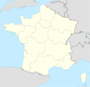
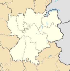
La Chapelle-en-Vercors Fransiyaning Rhône-Alpes mintaqasida joylashgan kommunadir. Drôme departamenti Die tumani tarkibiga kiradi.
Aholisi
[tahrir | manbasini tahrirlash]662 nafar aholi istiqomat qiladi (1999). Aholi zichligi — har kvadrat kilometrga 14,7 nafar kishi.
 |
Geografiyasi
[tahrir | manbasini tahrirlash]Maydoni — 44,9 km2. Dengiz sathidan 600 – 1524 m balandlikda joylashgan.

|
Manbalar
[tahrir | manbasini tahrirlash]

