Neuzelle
Qiyofa
Neuzelle | |
|---|---|
| Kommuna | |
|
| |
| 52°4′59″N 14°37′59″E / 52.08306°N 14.63306°E | |
| Mamlakat | Germaniya |
| Yer | Brandenburg |
| tuman | Oder-Spree (tuman) |
| Ichki boʻlinishi | 11 osttuman |
| Hukumat | |
| Klaus Schroth | |
| Maydon | 13,500 km2 (5,200 kv mi) |
| Markazi balandligi | 43 m |
| Aholisi (2010) |
4 471 |
| Vaqt mintaqasi | UTC+1, yozda UTC+2 |
| Telefon kodi | 033652 |
| Pochta indeks(lar)i | 15898 |
| Avtomobil kodi | LOS |
| Rasmiy kodi | 12 0 67 357 |
|
| |
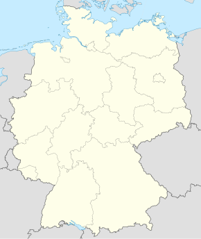
Neuzelle Germaniyaning Brandenburg yerida joylashgan kommunadir. Ushbu kommuna Oder-Spree tumani tarkibiga kiradi. Maydoni — 135,00 km2. 4471 nafar aholi istiqomat qiladi (2010).
Geografiyasi
[tahrir | manbasini tahrirlash]Hududi
[tahrir | manbasini tahrirlash]Neuzellening hududi 135,92[1][2] km2dir. Dengiz sathidan oʻrtacha 43 va 50 m balandlikda joylashgan.
Demografiyasi
[tahrir | manbasini tahrirlash]| Yil | Soni | |
|---|---|---|
| 2017 | 4276 | |
| 2019 | 4291 | |
| 2021 | 4294 | |
| 2022 | 4232 | |
Manbalar
[tahrir | manbasini tahrirlash]Havolalar
[tahrir | manbasini tahrirlash]| Vikiomborda Neuzelle haqida turkum mavjud |

