Kontent qismiga oʻtish

São Vicente Ferrer (Maranhão)

Koordinatalari: 2°53′38″S 44°52′48″W / 2.89389°S 44.88000°W / -2.89389; -44.88000
Vikipediya, erkin ensiklopediya
São Vicente Ferrer
Munitsipalitet
Skyline of São Vicente Ferrer
2°53′38″S 44°52′48″W / 2.89389°S 44.88000°W / -2.89389; -44.88000
Mamlakat Braziliya
Shtat Maranhão
Aholisi
 (2020[1])
22,350
Vaqt mintaqasi UTC−3
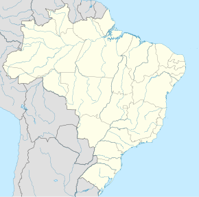
São Vicente Ferrer xaritada
São Vicente Ferrer
São Vicente Ferrer

São Vicente Ferrer – Braziliyaning Maranhão shtati tarkibidagi munitsipalitet.
pFad - Phonifier reborn

Pfad - The Proxy pFad of © 2024 Garber Painting. All rights reserved.

Note: This service is not intended for secure transactions such as banking, social media, email, or purchasing. Use at your own risk. We assume no liability whatsoever for broken pages.


Alternative Proxies:

Alternative Proxy

pFad Proxy

pFad v3 Proxy

pFad v4 Proxy