Vallerotonda
Qiyofa
Vallerotonda | |
|---|---|
| kommuna | |
 | |
| 41°33′0″N 13°55′0″E / 41.55000°N 13.91667°E | |
| Mamlakat | Italiya |
| Viloyat | Lazio |
| Provinsiya | Frosinone |
| Hukumat | |
| Giovanni Rongione | |
| Maydon | 59 km2 (23 kv mi) |
| Markazi balandligi | 620 m |
| Aholisi | 1 854 |
| Zichligi | 31 kishi/km2 |
| Vaqt mintaqasi | UTC+1, yozda UTC+2 |
| Telefon kodi | (+39) 0776 |
| Pochta indeks(lar)i | 03040 |
| ISTAT kodi | 060084 |
|
| |
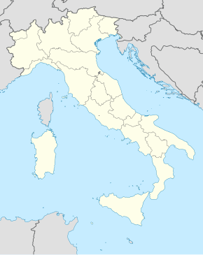
Vallerotonda Italiyaning Lazio mintaqasida joylashgan kommunadir. Frosinone provinsiyasi tarkibiga kiradi. Maydoni — 59 km2. 1854 nafar aholi istiqomat qiladi.
Manbalar
[tahrir | manbasini tahrirlash]
