Dunkeld, Gauteng
Tools
Actions
General
Print/export
In other projects
Appearance
From Wikipedia, the free encyclopedia
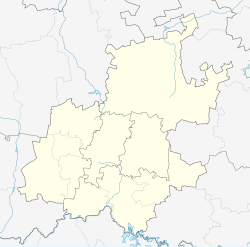
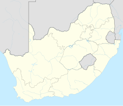
Place in Gauteng, South Africa
Dunkeld | |
|---|---|
| Coordinates: 26°8′10″S 28°2′21″E / 26.13611°S 28.03917°E / -26.13611; 28.03917 | |
| Country | South Africa |
| Province | Gauteng |
| Municipality | City of Johannesburg |
| Main Place | Johannesburg |
| Area | |
• Total | 1.38 km2 (0.53 sq mi) |
| Population (2011)[1] | |
• Total | 1,473 |
| • Density | 1,100/km2 (2,800/sq mi) |
| Racial makeup (2011) | |
| • Black African | 28.6% |
| • Coloured | 1.8% |
| • Indian/Asian | 2.9% |
| • White | 64.4% |
| • Other | 2.4% |
| First languages (2011) | |
| • English | 65.1% |
| • Afrikaans | 11.3% |
| • Zulu | 5.4% |
| • Northern Sotho | 2.8% |
| • Other | 15.4% |
| Time zone | UTC+2 (SAST) |
| Postal code (street) | 2196 |
Dunkeld is a suburb of Johannesburg, South Africa. It is located in Region 3. It is bordered by the suburbs of Hyde Park and Illovo to the north, Melrose to the east, Rosebank in the south and to the west, Dunkeld West.
Origin of the name
[edit]The Dunkeld suburbs name has it origin in a small town in Perth and Kinross, Scotland.[2] The township was laid out in 1904.[3]: 163 The main street through the suburb, Bompass Street, is named after accountant and real estate pioneer Frank W.R. Bompass. [3]: 170
References
[edit]- ^ a b c d "Sub Place Dunkeld". Census 2011.
- ^ Kendall, Ian (October 2009). "Scottish Place Names - Johannesburg, South Africa". Ian Kendall. Retrieved 17 April 2016.
- ^ a b Leyds, Gerald Anton (1964). A History of Johannesburg: The Early Years. Nasional Boekhandel. p. 318.
External links
[edit]- Scottish Place Names in Johannesburg, South Africa lists suburbs with Scottish placenames.
This Johannesburg-related article is a stub. You can help Wikipedia by expanding it. |

