Gátova
Appearance
Gátova | |
|---|---|
| Coordinates: 39°46′10″N 0°31′16″W / 39.76944°N 0.52111°W | |
| Country | |
| Autonomous community | |
| Province | Valencia |
| Comarca | Camp de Túria |
| Judicial district | Llíria |
| Government | |
| • Alcalde | Jesús Salmerón |
| Area | |
• Total | 30.4 km2 (11.7 sq mi) |
| Elevation | 560 m (1,840 ft) |
| Population (2018)[1] | |
• Total | 392 |
| • Density | 13/km2 (33/sq mi) |
| Demonym(s) | Gatovero, ra |
| Time zone | UTC+1 (CET) |
| • Summer (DST) | UTC+2 (CEST) |
| Postal code | 46169 |
| Official language(s) | Spanish |
| Website | Official website |
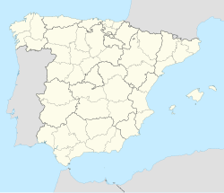
Gátova (Valencian: Gàtova) is a municipality in the comarca of Camp de Túria in the Valencian Community, Spain.
The town is situated in the heart of the Serra Calderona, a natural protected park in Valencia.
References
[edit]- ^ Municipal Register of Spain 2018. National Statistics Institute.
External links
[edit]- La Sierra Calderona (in Spanish)
- Parcs Naturals de la Comunitat Valenciana - Official List[permanent dead link]


