Freising
Appearance
Freising | |
|---|---|
 Domberg (cathedral hill) Freising | |
| Coordinates: 48°24′10″N 11°44′56″E / 48.40278°N 11.74889°E | |
| Country | Germany |
| State | Bavaria |
| Admin. region | Oberbayern |
| District | Freising |
| Subdivisions | 29 Stadtteile |
| Government | |
| • Lord mayor (2020–26) | Tobias Eschenbacher[1] |
| Area | |
| • Total | 88.45 km2 (34.15 sq mi) |
| Elevation | 448 m (1,470 ft) |
| Population (2022-12-31)[2] | |
| • Total | 49,339 |
| • Density | 560/km2 (1,400/sq mi) |
| Time zone | UTC+01:00 (CET) |
| • Summer (DST) | UTC+02:00 (CEST) |
| Postal codes | 85354, 85356 |
| Dialling codes | 08161 |
| Vehicle registration | FS |
| Website | www.freising.de |
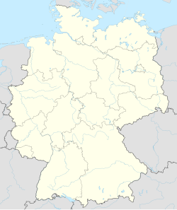
Freising (German pronunciation: [ˈfʁaɪzɪŋ]) is a town in Bavaria, Germany, and the capital of the Freising Landkreis (district), with a population of about 50,000.
Location
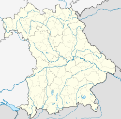
[change | change source]Freising is the oldest town between Regensburg and Bolzano and is in Upper Bavaria north of Munich, near Munich International Airport, on the Isar river. There are two hills, the cathedral hill with the bishop's castle and Freising cathedral, and Weihenstephan Hill with Weihenstephan Abbey, the oldest working brewery in the world. It was also the first recorded place of a European tornado. The city is 448 meters above sea level.
References
[change | change source]- ↑ Liste der ersten Bürgermeister/Oberbürgermeister in kreisangehörigen Gemeinden, Bayerisches Landesamt für Statistik, 15 July 2021.
- ↑ Genesis Online-Datenbank des Bayerischen Landesamtes für Statistik Tabelle 12411-003r Fortschreibung des Bevölkerungsstandes: Gemeinden, Stichtag (Einwohnerzahlen auf Grundlage des Zensus 2011) .
Other websites
[change | change source]Wikimedia Commons has media related to Freising.
 Freising travel guide from Wikivoyage
- Official website
 (in German)
 - Bavarian state library
- Pictures of Freising Archived 2011-09-27 at the Wayback Machine
- Freising during the Third Reich


